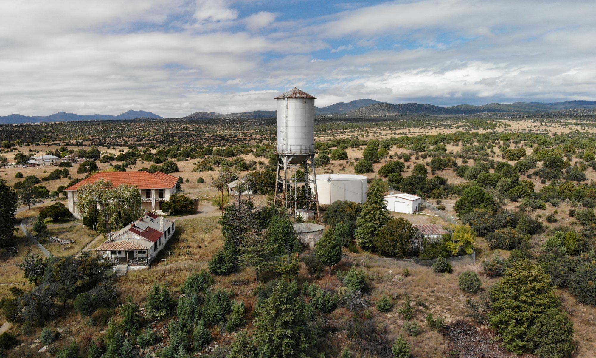
Photography: Real estate, commercial real estate, vistas etc.
Aerial Mapping: Available when working under or through a licensed surveyor , accurate 2D and 3D aerial maps and topographic surveys – drones capture detailed photos of a large area, with geo-spatial data.
3D Modeling : Aggregates stockpile volume measurement, pits and piles.
Insurance: Claims videography and imaging.
Monitor progress: Track progress of large scale engineering projects with detailed aerial views with high quality and live updates.
Facility inspection: Solar farm inspections, pipeline monitoring, wind turbine inspections, cell tower inspections, power line inspection, bridge inspections, roof inspections, visible spectrum, construction inspections.
Thermographic Imaging: Temperature reporting from the air. Thermal imaging to detect leaks, faulty structures and energy loss in the fraction of the time it would take to manually inspect a property etc.
Emergency Response: Monitoring and surveillance. Pre-incident 3D mapping and post 3D mapping for comparisons. Search and rescue operations.
Forest and agriculture applications: Crop inspections, crop health imaging, wildlife finding, vegetation mapping.
Training: One on one instruction or group training.

